This project aimed to develop a set of comprehensive guidelines, recommendations, and specifications of applying small unmanned aerial system (UAS) for the North Carolina Department of Transportation (NCDOT) to produce survey-grade geospatial products on preconstruction and construction activities. A series of data collection and data evaluation tests were performed at six sites with different terrain types. Those sites included two preliminary sites located at North Carolina State University (NCSU) and four main UAS test sites coordinated by NCDOT. For the preliminary sites, the first site was a track facility site. The second one was a vertical structure near Lake Raleigh. The four UAS test sites included one facility site in Butner, two construction sites in High Point and Clinton, and one sloped site with rock surfaces in Mars Hill.
The collected geospatial data was used to 1) evaluate appropriate sensors for specific landcover, 2) assess flight altitudes and their associated vertical and horizontal accuracies, 3) determine the distance between ground sampling distance (GSD), 4) determine an appropriate number of ground control points (GCPs), their distribution, and weight, 5) determine image overlap in orthogonal directions, quality, and resolution, and 6) strategies for continuous surveying for capturing construction progress and changes in terrain.
Moreover, the collected data was also used to evaluate multiple factors that affect horizontal and vertical accuracies during data acquisition and processing. In addition, a quantitative analysis called the multiple regression (MR) method was developed to evaluate the level of significance of different flight configurations (i.e., flight height, image overlap, GCP quantity, focal length, and image quality) on accuracy. Furthermore, the developed MR model can be used to predict survey accuracy.
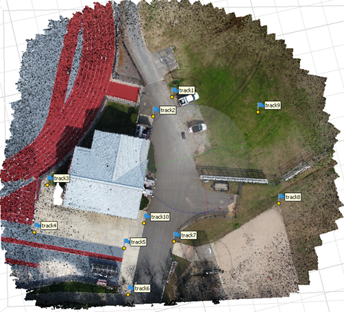
Additionally, research on the influence of GCP spacing and quantity on the accuracy was conducted using different numbers and separation distances of GCPs. This research was conducted at the corridor-shaped construction site and the Butner UAS test site.
Lastly, a set of guidelines and specifications that resulted from this research was developed, which will enable NCDOT to produce consistent and reliable survey-grade geospatial data using UAS-based photogrammetry surveying.
