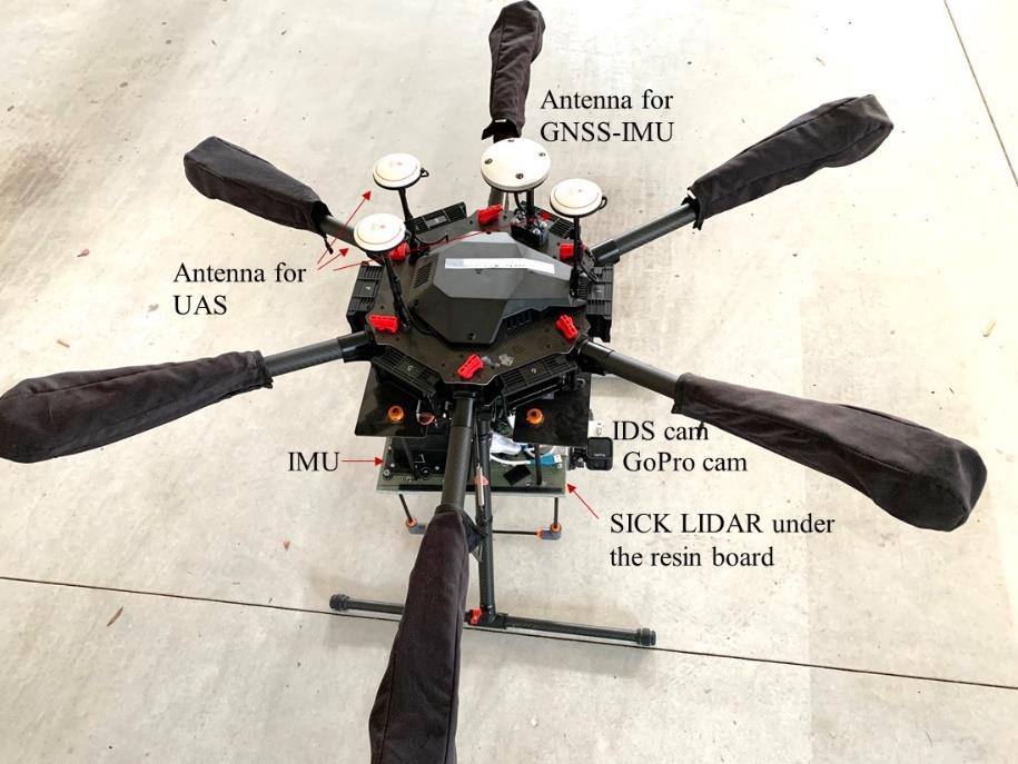
When equipped with appropriate sensors, small UAS has been proven extremely cost-effective and efficient in surveying large areas, and creating 3D point cloud, models and maps. In North Carolina, the construction industry and government agencies have started to use small UAVs in construction-related activities and disaster management. For the state agencies to better manage and oversee these activities, it is imperative for the state engineers in various units and offices to get more familiar with the UAS-based sensing technologies. Case studies and a workshop have been developed in this project for applications of small UAS and the affiliated sensors. The technology transferred to NCDOT will enable significant savings in managing current and future projec ts, and will further help NCDOT revise and update regulations and guidelines for UAV applications in the State of North Carolina.

Through this project, North Carolina will be able to take a leading position in regulating and managing construction and infrastructure-related applications of small UAS in the country.
